VERTICON 2025
March 11 - 13, 2025 | Dallas, TX
Stop by booth #11556 or schedule an in-person demo to learn about our newest features designed specifically for helicopter operations.
This event has passed!
We'll See You In...
00
days
00
hours
00
minutes
00
seconds
The all-in-one solution for more efficient operations
FOREFLIGHT DISPATCH
The command center of your operation
Frictionless flight planning
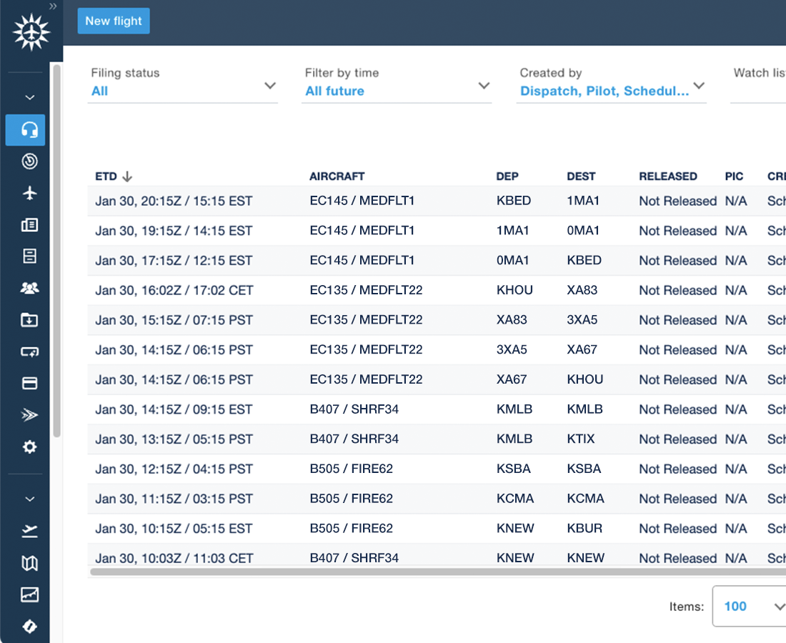
Experience seamless flight planning that integrates scheduling, Custom Content, and helicopter waypoints and routes—all dynamically adjusted for current weather conditions and fuel efficiency.
Maximize Operational Efficiency
Let intelligent automations handle repetitive tasks like flight releases, freeing your team to focus on higher priorities. Customize our flight planning tools to align perfectly with your workflow through operational rules that automatically tailor flight plans to your specific SOPs.
Planner and pilot connectivity
Enable seamless collaboration between flight planners and pilots with instant synchronization of critical flight plan updates. Pilots access the latest information directly through ForeFlight Mobile, maintaining continuous connectivity with your planning center.
Can't make it to VERTICON?
CUSTOM CONTENT
Your mission, your content
Customized for every mission
Content packs provide a powerful solution for helicopter operators to equip pilots with flight-critical information seamlessly integrated within ForeFlight. Implement mission-specific Content Packs for firefighting, search and rescue, law enforcement, disaster relief, and more.
Easy landing zone database distribution
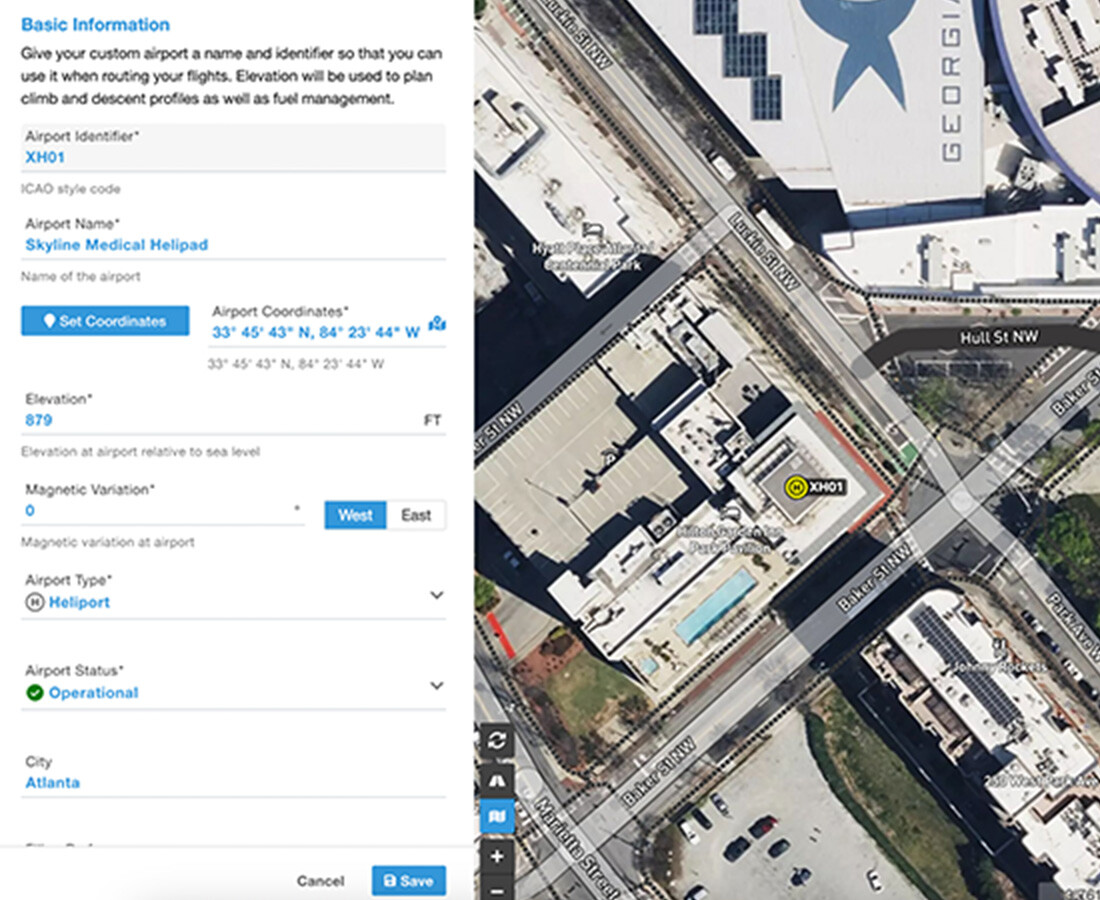
Bundle and share your landing zone database across your entire fleet, including PDFs with images and text, ensuring crews have the most accurate information at their fingertips. Pilots can access everything in ForeFlight with a simple tap on associated heliports or waypoints.
Custom Map Layers for mission planning
Define operational areas precisely using KML files. Import points, lines, and polygons directly into ForeFlight's map view to delineate training zones, operational boundaries, and specialized routes—tailoring navigation to your specific mission requirements.
FOREFLIGHT MOBILE
Helicopter Operations
Enhanced situational awareness
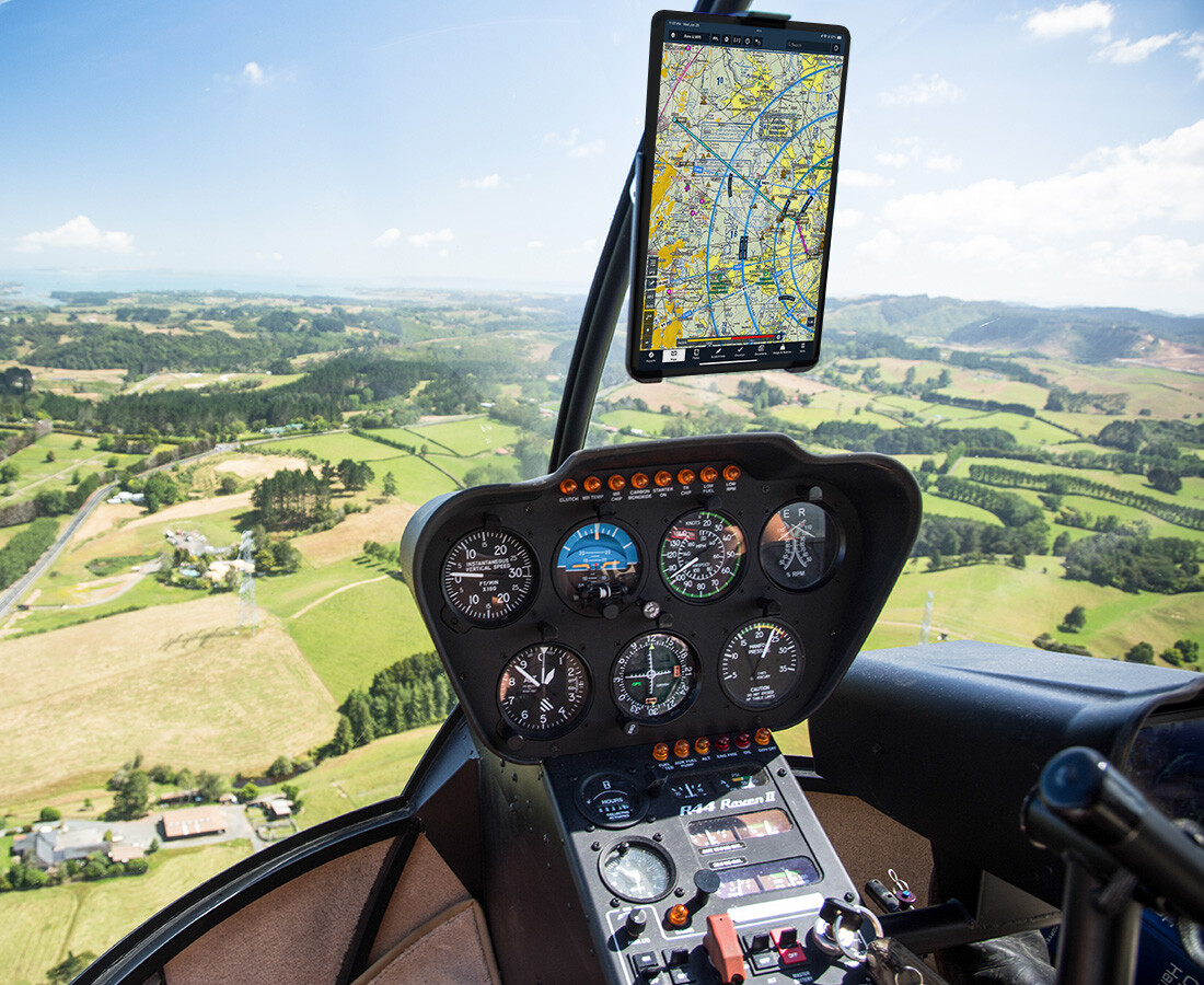
Navigate confidently using Synthetic Vision and Hazard Advisor, providing critical 3D terrain visualization and obstacle awareness essential for low-altitude helicopter missions.
Helicopter route flight planning
Plan and file flight plans with helicopter-only airways or customize your Aeronautical Map with helicopter waypoints to optimize your VFR route planning.
Integrated with ForeFlight Dispatch
Connect ForeFlight Mobile directly to Dispatch, ensuring pilots always have the most current mission-critical information and enhanced operational capabilities.
Join us for a live session
Elevating Your Operation with ForeFlight's Custom Content ToolsJoin us for a session on maximizing custom content tools for helicopter operations within ForeFlight. Learn how to implement mission-specific Content Packs for firefighting, search and rescue, law enforcement, disaster relief, and more. Plus, techniques for distributing Landing Zone databases across your team's iPads, giving them one-tap access to critical information at heliports and waypoints.
March 12th, 2025 | 11:00 AM | Room C141


